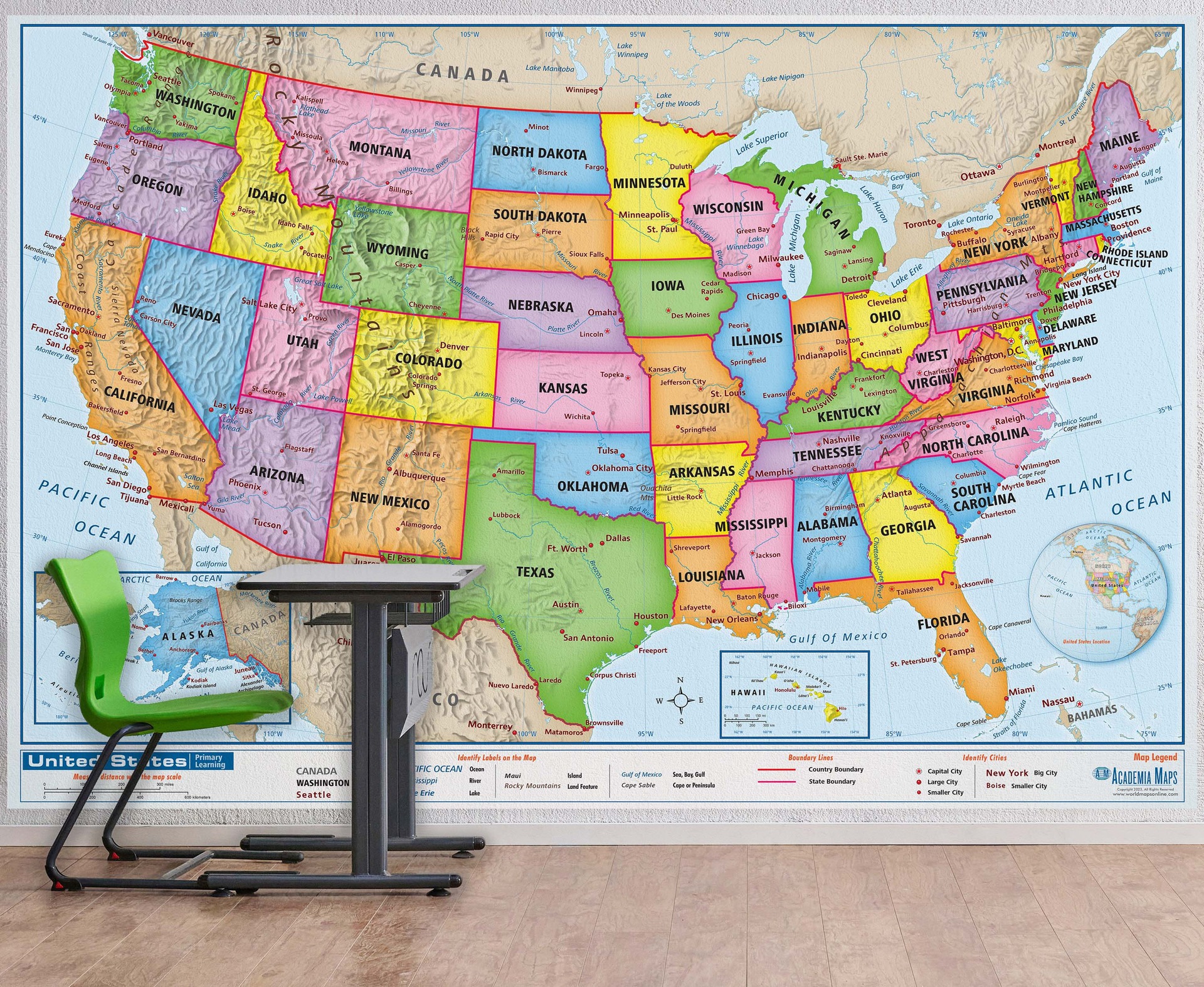
Precise representation of national, regional, provincial, municipal boundaries for interactive web maps.
National Boundary Mapping
Detailed maps for national boundary representation and analysis.
Regional Boundary Mapping
Accurate maps for regional boundary visualization and planning.
Provincial Mapping Services
Municipal Boundary Mapping

Boundary Mapping
Precise representation of political boundaries for national, regional, and municipal levels.


Land Information Maps
Interactive web maps displaying political boundaries and land information.

Web Integration Services
Integrating political boundary maps and land information to official websites.


User Accessible Maps
Allowing users to access and understand administrative divisions easily.
Zone Boundary Display
Displaying precise zone boundaries for better understanding and accessibility.
→
→
→
→
I was amazed by the precision of the political boundary mapping services provided. The interactive web maps on the website are extremely helpful for understanding administrative divisions.
Satisfied Customer

★★★★★
Contact Us for Political Boundary Mapping Services
Reach out to us for precise political boundary mapping solutions today.

